AWS Public Sector Blog
Tag: DigitalGlobe

Ingest data from orbiting satellites and save up to 80% with AWS Ground Station
Satellites are used by an increasing number universities and governments for applications including weather, surface imaging, communications, and video broadcasts. To do this today, they must build or obtain long-term leases on ground antennas to communicate with the satellites. This is a significant undertaking and cost because customers often require antennas in multiple countries to maintain satellite connectivity. Beginning with the recently announced AWS Ground Station, customers can save up to 80% of their ground station costs by only paying for satellite communications when their organization needs them.
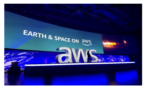
“Earth is Just Our Starting Place:” An Earth & Space on AWS Event Recap
AWS hosted its first-ever Earth and Space on AWS event in Washington, DC, leading up to the AWS Public Sector Summit. Speakers from Blue Origin, NASA Jet Propulsion Laboratory (JPL), DigitalGlobe, and others spoke about the endless possibilities for the future in our solar system and beyond.

Q&A with GBDX for Sustainability Challenge Finalists
The United Nations has named 17 goals that will help boost sustainable development worldwide. DigitalGlobe worked to find passionate participants who can leverage DigitalGlobe’s GBDX platform and imagery for geospatial projects supporting work in areas such as disaster response, food security, poverty elimination, and ending malaria. DigitalGlobe’s GBDX uses Amazon Web Services (AWS) for cloud-based access to its entire 100-petabyte imagery library. With the support of AWS, the GBDX for Sustainability Challenge taps into the potential of that vast digital library to support the United Nations’ Sustainable Development Goals. Extracting meaningful information from satellite imagery at scale is only possible because of the AWS Cloud.

April 2018 Top Blog Roundup
The public sector blog continues to cover critical news and information impacting our public sector customers. Check out our top posts from April, according to our readers.

How DigitalGlobe Uses Amazon SageMaker to Manage Machine Learning at Scale
If you have ever searched for directions, called an Uber, or looked up a trailhead, you have used DigitalGlobe’s imagery or information derived from it. DigitalGlobe went all-in on AWS to meet the growing demand for commercial geo-intelligence, migrating its entire 18-year imagery archive to the cloud. The company used AWS Snowmobile to move 100 petabytes of data to the cloud, allowing it to move away from large file-transfer protocols and delivery workflows.

Submit a Proposal for the GBDX for Sustainability Challenge
The United Nations (UN) has named 17 goals that will help boost sustainable development worldwide. Technology and cloud-based solutions will be a critical part of achieving the Global Goals for Sustainable Development (SDGs). DigitalGlobe, one of the world’s leading providers of high-resolution Earth imagery, data and analysis, with support from Amazon Web Services (AWS), has launched the GBDX for Sustainability Challenge. We are looking for passionate participants who can leverage machine learning and high-resolution satellite imagery for geospatial solutions that support these sustainable development goals, such as disaster response, food security, poverty elimination, and ending malaria, to name a few.

Solving Problems with Open Data Imagery: Q&A with DigitalGlobe and HOT
This week at SatSummit, DigitalGlobe, Inc. announced a push for open data imagery to solve challenging problems that involve location, mapping, and intelligence. We spoke with Kevin Bullock, Director of Business Development at DigitalGlobe and Cristiano Giovando, Director of Technology of the Humanitarian OpenStreetMap Team. Check out the below Q&A to learn about what they […]