AWS Spatial Computing Blog
Category: Public Sector
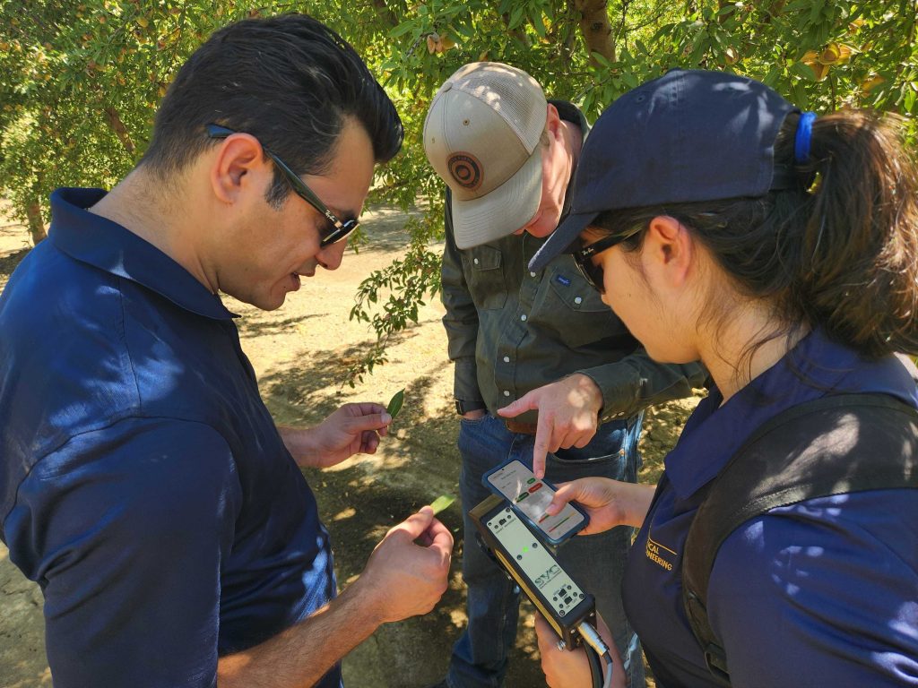
Empowering Sustainable Agriculture with AI-Powered Leaf Nutrient Sensing on AWS
The Challenge of Nutrient Management in Agriculture For decades, fertilizers have been essential to producing healthy crops and maintaining yield. Yet in many orchards today, especially those growing pistachios, grapes, and almonds across California, the benefits of extra fertilizer are beginning to level off. Growers often apply more nutrients than the plants actually need because […]

Orthophotography with OpenDroneMap on AWS
Introduction In this post, I demonstrate how to create and visualize an orthomosaic from aerial images using a technique called orthophotography. This is done through the use of OpenDroneMap (ODM), QGIS, and DroneYard. ODM is a software toolkit for processing aerial imagery and creating 3D models, maps and other geospatial products. QGIS, a Geographic Information […]