AWS Public Sector Blog

Author: Ethan Fahy
Ethan Fahy is an enterprise senior solutions architect at Amazon Web Services (AWS) based in Boston, MA. Ethan has a background in geophysics, and enjoys building large-scale, cloud-native architectures to support scientific workloads.
Visualize data lake address datasets on a map with Amazon Athena and Amazon Location Service geocoding
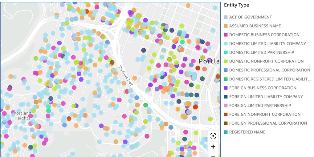
Many public sector customers in government, healthcare, and life sciences have data lakes that contain addresses (e.g., 123 Main Street). These customers frequently ask how they can quickly visualize these addresses on a geographic map to get a more intuitive understanding of how these addresses are distributed. In this post, learn how to use Amazon Athena and Amazon Location Service to perform ad hoc geocoding on an example dataset and visualize these geocoded addresses on an Amazon QuickSight map.

How to deliver performant GIS desktop applications with Amazon AppStream 2.0
Geospatial datasets are increasingly large, reaching terabyte and even petabyte scale, which can cause many challenges for geospatial analysts and educators–but Amazon AppStream 2.0 can provide some solutions. In this blog post, we walk through how to deploy QGIS, a no cost, open-source geospatial information system (GIS) application used by geospatial analysts, in Amazon AppStream 2.0. We also load an example dataset to demonstrate how desktop GIS application users can access large, cloud-hosted geospatial datasets with high performance by keeping the data and compute components together on the cloud, and streaming the desktop application instead of downloading the data itself.

Analyze terabyte-scale geospatial datasets with Dask and Jupyter on AWS
Terabytes of Earth Observation (EO) data are collected each day, quickly leading to petabyte-scale datasets. By bringing these datasets to the cloud, users can use the compute and analytics resources of the cloud to reliably scale with growing needs. In this post, we show you how to set up a Pangeo solution with Kubernetes, Dask, and Jupyter notebooks step-by-step on Amazon Web Services (AWS), to automatically scale cloud compute resources and parallelize workloads across multiple Dask worker nodes.