AWS Public Sector Blog
Tag: satellite

How Satellogic and AWS are harnessing the power of space and cloud
Satellogic is a leader in high-resolution Earth observation (EO) data collection. The company is creating a live catalog of Earth and delivering daily updates to create a complete picture of changes to our planet for decision makers. Watch a new video to understand how Satellogic uses AWS Ground Station and the AWS Cloud to democratize access to EO data that’s being used for high-impact missions.

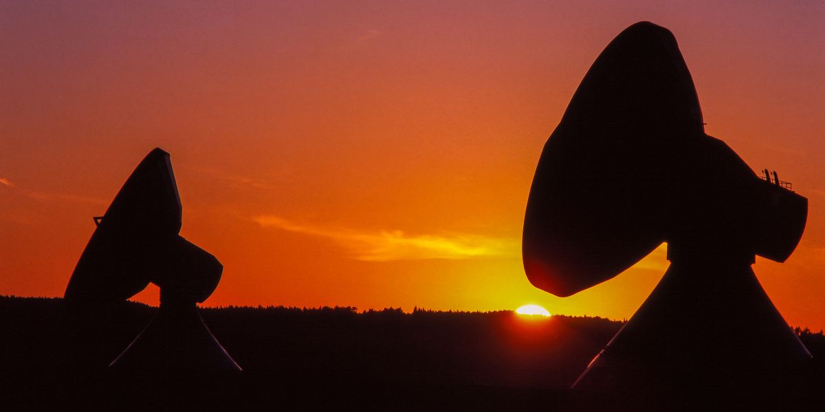
Virtualizing satellite communication operations with AWS
Virtualizing the satellite ground station with cloud technology can increase scalability, flexibility, and operational agility for satellite communications (satcom) operations. This blog post describes how AWS can help satcom customers virtualize their ground stations that are directly connected to satellite antenna systems. This post details the benefits of decoupling satellite ground station hardware and software components to improve scalability and flexibility. This post also presents a reference architecture to virtualize the satcom ground segment after the satellite signal is digitized at both ends of communication.

How public sector organizations use AWS to build sustainability solutions
The cloud offers transformative solutions to address sustainability challenges, enabling organizations to increase productivity, efficiency, and cost savings, as well as reduce emissions and waste. The cloud also enables data analytics and research at scale, allowing us to better understand and track key climate metrics required for fighting climate change. From smart devices that track water and energy consumption, to machine learning and artificial intelligence to support sustainable farming, organizations across the globe are using AWS to meet their sustainability goals.

OpenFold, OpenAlex catalog of scholarly publications, and Capella Space satellite data: The latest open data on AWS
The AWS Open Data Sponsorship Program makes high-value, cloud-optimized datasets publicly available on AWS. Our full list of publicly available datasets are on the Registry of Open Data on AWS and are now also discoverable on AWS Data Exchange. This quarter, we released 15 new or updated datasets including OpenFold, OpenAlex, and radar data from Capella Space. Check out some highlights from the new or updated datasets.

What we learned at Amazon re:MARS 2022 for the public sector
The Amazon re:MARS 2022 conference brought together thought leaders, technical experts, and groundbreaking companies and organizations that are transforming what’s possible in machine learning (ML), automation, robotics, and space. Advancements in these fields are the engines that will drive innovation for the next 100 years. Read on to learn about announcements from re:MARS related to the public sector, plus some of the innovative organizations and companies that were onsite to inspire guests with breakthrough technologies and ideas.
Getting started with AWS Ground Station
Public sector organizations and commercial enterprises alike are reaping the benefits of AWS Ground Station, which lets customers command and control satellite communications, process satellite data, and scale their satellite operations. This article provides a general overview of AWS Ground Station, its key benefits, and general advice for getting started.

Managing the world’s natural resources with earth observation
With increasing pressure from climate change, loss of biodiversity, and demand for natural resources from already stressed ecosystems, it has become essential to understand and address environmental changes by making sustainable land use decisions with the latest and most accurate data. As part of the Amazon Sustainability Data Initiative (ASDI), AWS invited Joe Sexton, chief scientist and co-founder of terraPulse, to share how AWS technologies and open data are supporting terraPulse’s efforts to provide accurate and up-to-date information on the world’s changing ecosystems.
AWS joins the Digital IF Interoperability (DIFI) Consortium
AWS helps customers build satellites, conduct space and launch operations, and leverage cloud-powered infrastructure on the ground. To further promote scalability and flexibility across the space industry, AWS has joined the Digital IF Interoperability (DIFI) Consortium. The DIFI Consortium is an independent group of space companies, organizations, and government agencies from around the world that promote an open and simple standard to facilitate interoperability of ground systems supporting space operations.

AWS announces the 10 startups selected for the 2022 AWS Space Accelerator
AWS is pleased to officially announce the selection of the 10 participants for the 2022 AWS Space Accelerator. The selected startups each have an inspiring and innovative vision for how to transform the growing global space industry across a diverse set of mission areas, including Earth observation (EO), space situational awareness, launch and propulsion, and space exploration.

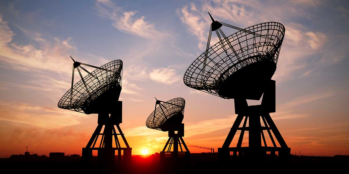
Virtualizing the satellite ground segment with AWS
As the number of spacecraft and spacecraft missions accelerates, moving aerospace and satellite operations to the cloud via digital transformation — including virtualizing the ground segment — is key for economic viability. In this blog post, we explain the benefits of virtualizing the ground segment in the cloud and present the core components of a reference architecture that uses AWS to support several stages of a comprehensive ground segment virtualization. Then, working from this model, we present additional reference architectures for virtualizing the ground segment that can accommodate various requirements and usage scenarios.