AWS Public Sector Blog
Category: Satellite
An incident response playbook for satellite operations on AWS (Part-1): Detection and forensic readiness
In this post, the first in a two-part series, we focus on the detection and forensic readiness side of satellite IR. This post walks through instrumenting your ground segment with Amazon Web Services (AWS) security services and AWS Ground Station so that threats surface before they cause damage, and forensic data is already flowing when an incident occurs.
An incident response playbook for satellite operations on AWS (Part-2): Automated response and recovery
This blog covers what to do when those detections fire. Satellite incident response (IR) must account for constraints that ground-based systems never face: containment actions that wait for the next orbital pass, decisions that trade mission continuity against security, and recovery procedures where the compromised endpoint cannot be physically accessed. It walks through containment, eradication, recovery, automated runbooks, and tabletop exercises designed for satellite operations teams.
Enabling resilient hybrid edge architectures with AWS
Organizations operating in austere environments require robust, resilient architectures that maintain operations regardless of connectivity status. This post explores how to implement and deploy resilient hybrid edge architectures using Amazon Web Services (AWS), with a focus on network resilience, data synchronization, security, and configuration management. We’ll cover best practices for deploying and managing hybrid architectures […]
AWS Expands Ground Station as a Service Partner Program
AWS is expanding its AWS Ground Station as a Service Partner Program, increasing the options for space customers to bring space data to the AWS Cloud and realize its benefits. Today, AWS is excited to announce an enhanced collaboration with Kongsberg Satellite Services (KSAT), a world-leading provider of communication services for spacecraft and launch vehicles, as part of the AWS Ground Station as a Service (GSaaS) Partner Program. Satellite operators can now seamlessly access KSAT’s global satellite ground station network and operation services as well as the services and tools of AWS—the most comprehensive and broadly adopted cloud.
Extending operational ground networks for in-orbit satellites
This post showcases how Low Earth Orbit (LEO) satellite operators can seamlessly scale their operational ground network—even with an already in-orbit satellite—with Skynopy’s virtualized ground network, powered by AWS.

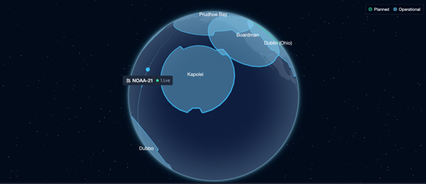
AWS Professional Services collaborates with NOAA and GAMA-1 Technologies to expand NESDIS Common Cloud Framework capabilities
AWS Professional Services has partnered with the National Environmental Satellite, Data, and Information Service (NESDIS), part of the National Oceanic and Atmospheric Administration (NOAA), alongside GAMA-1 Technologies to broaden the scope and capabilities of the NESDIS Common Cloud Framework (NCCF). This work supports NOAA’s ability to ingest, manage, process, and disseminate critical environmental data. Read this post to learn more.

Strengthen federal space resilience with AWS Ground Station
In this post, we explore how AWS Ground Station public sector organizations with on-demand access to AWS-managed antennas that are available as shared or dedicated resources, scaling to the unique requirements of the mission. By adding resource capacity and redundancy with AWS-managed antenna systems, government customers can rapidly increase, differentiate, and distribute their ground segment capabilities. This enables a more flexible and resilient space architecture that can dynamically adapt to changing mission demands.

Test and integrate ground segment with AWS Ground Station digital twin
Amazon Web Services (AWS) customers building software-defined ground segment solutions with the AWS Ground Station now have more confidence in their solution: they can integrate their DevOps practices with AWS Ground Station’s digital twin feature, which became generally available in August. The digital twin is useful for both aspiring and existing AWS Ground Station customers to achieve faster outcomes without applying for satellite licensing and more cost-effectively than scheduling a production satellite contact. Read this post to learn more.

Simplify satellite contact reporting with the AWS Ground Station contacts dashboard
This post shows how Amazon Web Services (AWS) Ground Station customers can start using the Contacts dashboard for AWS Ground Station solution to fulfill their AWS Ground Station reporting and tracking needs. This solution automatically maps AWS Ground Station contacts to their associated costs and provides a feature-rich dashboard reporting capability.

Harnessing cloud solutions to tackle water challenges
In this post, we explore how Amazon Web Services (AWS) cloud-based technologies can be used to address diversified and dynamic water challenges in Europe, the Middle East, and Africa. As climate change and demographic shifts continue to strain water resources, the need for innovative, technology-driven solutions has never been more urgent.