AWS Public Sector Blog
Category: AWS Ground Station

How Satellogic and AWS are harnessing the power of space and cloud
Satellogic is a leader in high-resolution Earth observation (EO) data collection. The company is creating a live catalog of Earth and delivering daily updates to create a complete picture of changes to our planet for decision makers. Watch a new video to understand how Satellogic uses AWS Ground Station and the AWS Cloud to democratize access to EO data that’s being used for high-impact missions.
Getting started with AWS Ground Station
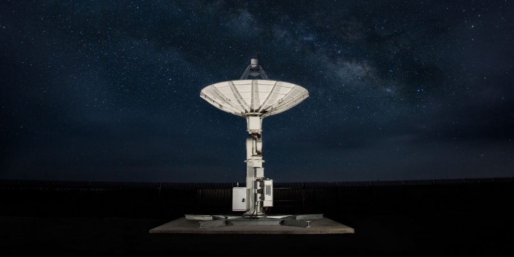
Public sector organizations and commercial enterprises alike are reaping the benefits of AWS Ground Station, which lets customers command and control satellite communications, process satellite data, and scale their satellite operations. This article provides a general overview of AWS Ground Station, its key benefits, and general advice for getting started.

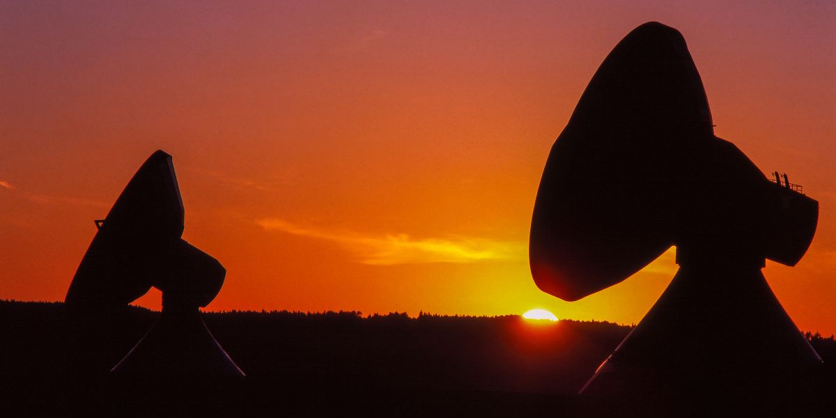
Virtualizing the satellite ground segment with AWS
As the number of spacecraft and spacecraft missions accelerates, moving aerospace and satellite operations to the cloud via digital transformation — including virtualizing the ground segment — is key for economic viability. In this blog post, we explain the benefits of virtualizing the ground segment in the cloud and present the core components of a reference architecture that uses AWS to support several stages of a comprehensive ground segment virtualization. Then, working from this model, we present additional reference architectures for virtualizing the ground segment that can accommodate various requirements and usage scenarios.

Scheduling satellite contact using AWS Ground Station and Python SDK
A new interactive AWS CLI tool expands the functionality of AWS Ground Station. You now have a simple way to schedule AWS Ground Station satellite contacts directly from your terminal. Learn more about how to use the CLI tool with scheduling, viewing, and canceling contacts to your satellite.

Automated Earth observation using AWS Ground Station Amazon S3 data delivery
With AWS Ground Station, you can now deliver data directly into Amazon S3 buckets. This simplifies downlinking because you no longer need to run an Amazon EC2 receiver instance. It also saves you cost and simplifies the creation of automated processing pipelines like the one we are going to show in this blog. By using an automated Earth observation (EO) pipeline, you can reduce the operating burden of your staff, as after scheduling a contact, everything is handled automatically and you’ll get a notification when the processed data is available. Read on to learn how to create an automated EO pipeline that receives and processes data from the NOAA-20 (JPSS-1) satellite, using this new AWS Ground Station feature.

Celebrating 40 years of space exploration
Space exploration has advanced significantly over the past 40 years. With missions like the space shuttle, NASA has led the way, demonstrating for the world their ability to push the boundaries of technological innovation to explore space, collect data, and enable scientific knowledge to make the world a better place. We are now in an exciting and daring new age as more organizations around the world are looking to explore space and achieve a sustainable operating presence. And fulfilling space-based missions demands innovation. Learn how AWS is supporting customers globally to push the boundaries of space exploration.
Capella uses space to bring you closer to Earth
Capella Space, a provider of on-demand Earth observation data via synthetic aperture radar (SAR), is going all-in on AWS. Capella runs its entire IT infrastructure on AWS to automate and scale its operations. AWS Ground Station makes it simple and cost effective for Capella to command and control its constellation and receive its satellite data directly into AWS using a fully managed network of antenna systems located around the world.
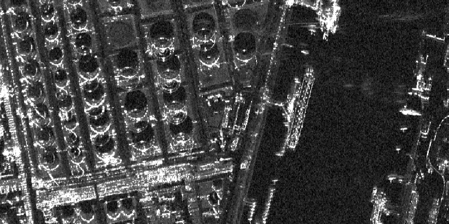
Capella and SpaceNet deliver unique views of Earth with machine learning on AWS
The breadth of challenges that can be addressed by overhead imagery is broad and continues to grow as new and improved sensors are deployed. To make the best use of this data, you need to have high-quality training data—data that you know is true (often called ground truth data) so that your algorithms can learn from it. A lack of this high-quality labeled training data continues to impede progress in many areas of remote sensing analytics, including machine learning. Two of the SpaceNet collaborators, Capella Space and AWS, are providing access to a unique dataset to help foster innovation in geospatial-based artificial intelligence. Learn more about Earth observation data, the SpaceNet 6 Challenge, and available datasets.

Mission: Exploring Earth to space
Far above the clouds, one of the fastest growing missions for the public sector is taking place. Technological advances and open data initiatives provide new paths to explore space, impacting our lives here on Earth. From satellites to rovers, cloud computing and cloud-enabled technologies help us find answers to our biggest questions.

Earth observation using AWS Ground Station: A how to guide
Over the past decade, a crop of new companies focused on Earth observation (EO) have made valuable EO data more accessible to a broad audience than before. As a result, we are seeing a dramatic increase in EO science. The value of EO data is the ability to monitor change. Recently, new instrumentation aboard satellites such as radar now allow us to “see” through clouds, allowing observation of any part of the Earth. The reliable, repeatable, and accurate data now flowing from satellites is opening up the reality of operational services powered by satellite imagery. Learn how to get started with EO data using AWS Ground Station.