- AWS Solutions Library›
- Solutions for Agriculture
Solutions for Agriculture
Discover curated Solutions that address varied agriculture use cases
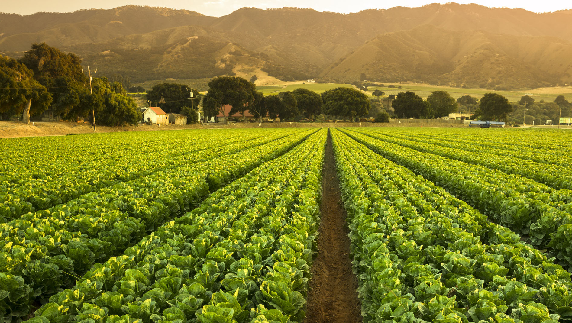
Transforming agriculture with AWS
Agriculture has transformed from tractor to app. Crops, livestock, fisheries, forests, and our understanding of food and related supply chains have evolved. Now, digital native businesses and AI are reshaping how we research, grow, process, trade, and consume— and AWS is curating Solutions that bring together AWS services and Partner solutions to accelerate your ability to respond, upgrade, and integrate your technology landscape.
Browse Solutions for agriculture
Explore AWS Services, ready-to-deploy AWS Solutions, specialized Partner Solutions, and architectural Guidance for your agriculture use cases.
Loading
Loading
Loading
Loading
Loading
Did you find what you were looking for today?
Let us know so we can improve the quality of the content on our pages