AWS Public Sector Blog
Tag: Amazon Location Service

The benefits of an email-based AI virtual assistant on AWS
In today’s fast-paced and competitive business landscape, companies are constantly seeking ways to enhance efficiency, streamline operations, and provide top-notch customer service. Artificial intelligence (AI) has emerged as a powerful tool to help companies achieve these goals while revolutionizing the way they interact with customers. In this post, you can read about the transformative potential of email-based virtual assistants—a standout among AI applications—powered by Amazon Web Services (AWS).

Using Amazon Timestream and Amazon Location Service to detect transportation route deviations and anomalies
Transit authorities have to maintain the location and schedule of large numbers of vehicle fleets on a daily basis. Most commonly, GPS coordinates are used to track vehicle location and transportation route. GPS coordinates often have anomalies that can contaminate location reporting. Additionally, if a vehicle takes a detour, it will offset public transportation schedules. Both cases impact the riders negatively. Keeping track and getting notified is a challenge. In this post, we look into an anomaly detection mechanism for public transportation using Amazon Web Services (AWS) offerings.

How to detect wildfire smoke using Amazon Rekognition
Since wildfires can double in size and intensity every three to five minutes, early detection and reduced response times are essential. Cloud technologies, including artificial intelligence (AI) and machine learning (ML), can help with this. Learn a high-level architecture to create a solution with AWS that uses AI to identify and classify wildfire smoke imagery and then rapidly alert and inform first responders about the location and condition of a fire incident.

How to store historical geospatial data in AWS for quick retrieval
Learn how to store historical geospatial data, such as weather data, on AWS using Amazon DynamoDB. This approach allows for virtually unlimited amounts of data storage combined with query performance fast enough to support an interactive UI. This approach can also filter by date or by location, and enables time- and cost- efficient querying.

Analyzing vehicle fleet location data from a data lake with AWS
At AWS, many public sector customers operate fleets of vehicles (e.g. emergency response, public transportation) that generate location data, which is ultimately stored in a data lake. These customers frequently ask how they can quickly visualize this data and extract insights that can help them optimize how they operate their vehicle fleets. In this post, learn how to use Amazon Athena and Amazon Location Service to perform ad hoc reverse geocoding on a notional dataset of vehicle location history, and visualize the results on an Amazon QuickSight map.
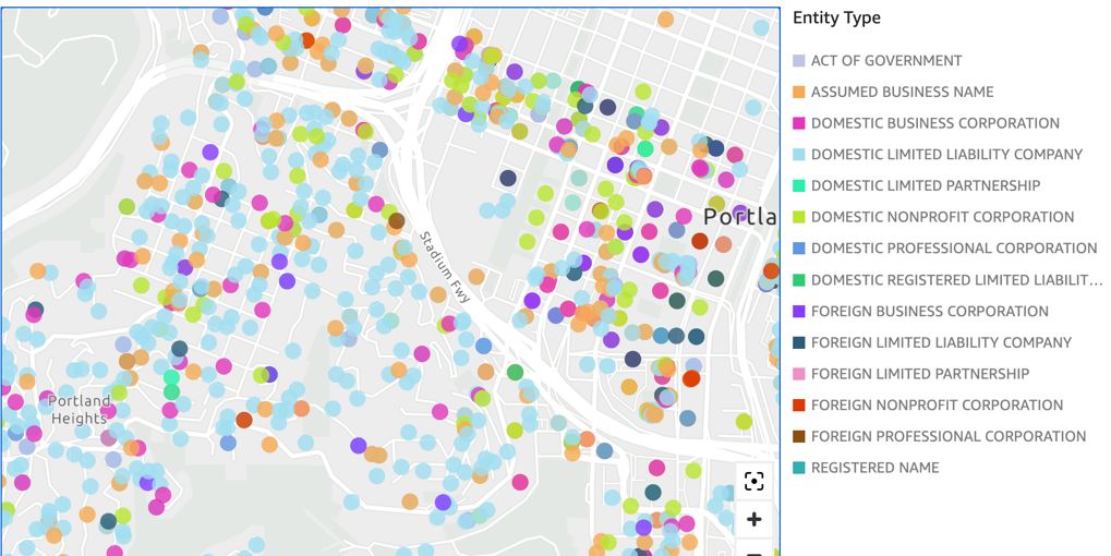
Visualize data lake address datasets on a map with Amazon Athena and Amazon Location Service geocoding
Many public sector customers in government, healthcare, and life sciences have data lakes that contain addresses (e.g., 123 Main Street). These customers frequently ask how they can quickly visualize these addresses on a geographic map to get a more intuitive understanding of how these addresses are distributed. In this post, learn how to use Amazon Athena and Amazon Location Service to perform ad hoc geocoding on an example dataset and visualize these geocoded addresses on an Amazon QuickSight map.

The value of partner integration: Esri, HERE Technologies, and Amazon Location Service
At re:Invent 2020, AWS announced the release of Amazon Location Service in preview. The fully managed service helps developers add location data to their applications while maintaining data security and user privacy. Amazon Location Service integrates data sources and services from AWS Partners Esri and HERE. AWS built Amazon Location Service to help users access high-quality global data from these longtime, trusted, geospatial location data providers.