Earth on AWS
Build planetary-scale applications in the cloud with open geospatial data.
Registry of Open Data on AWS
The Registry of Open Data on AWS helps you discover and share datasets that are available via AWS resources. You can find datasets from many different domains, and we have tagged them to make it easy to explore datasets suitable for geospatial workloads.
Image from Landsat 8 satellite, courtesy of the U.S. Geological Survey

Use Cases
Below you will find both videos and articles explaining how Earth Observation data on AWS can be used in your startup, enterprise, or research institution.
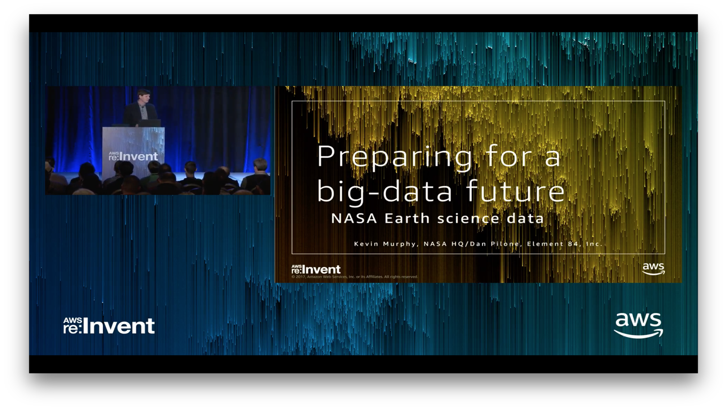
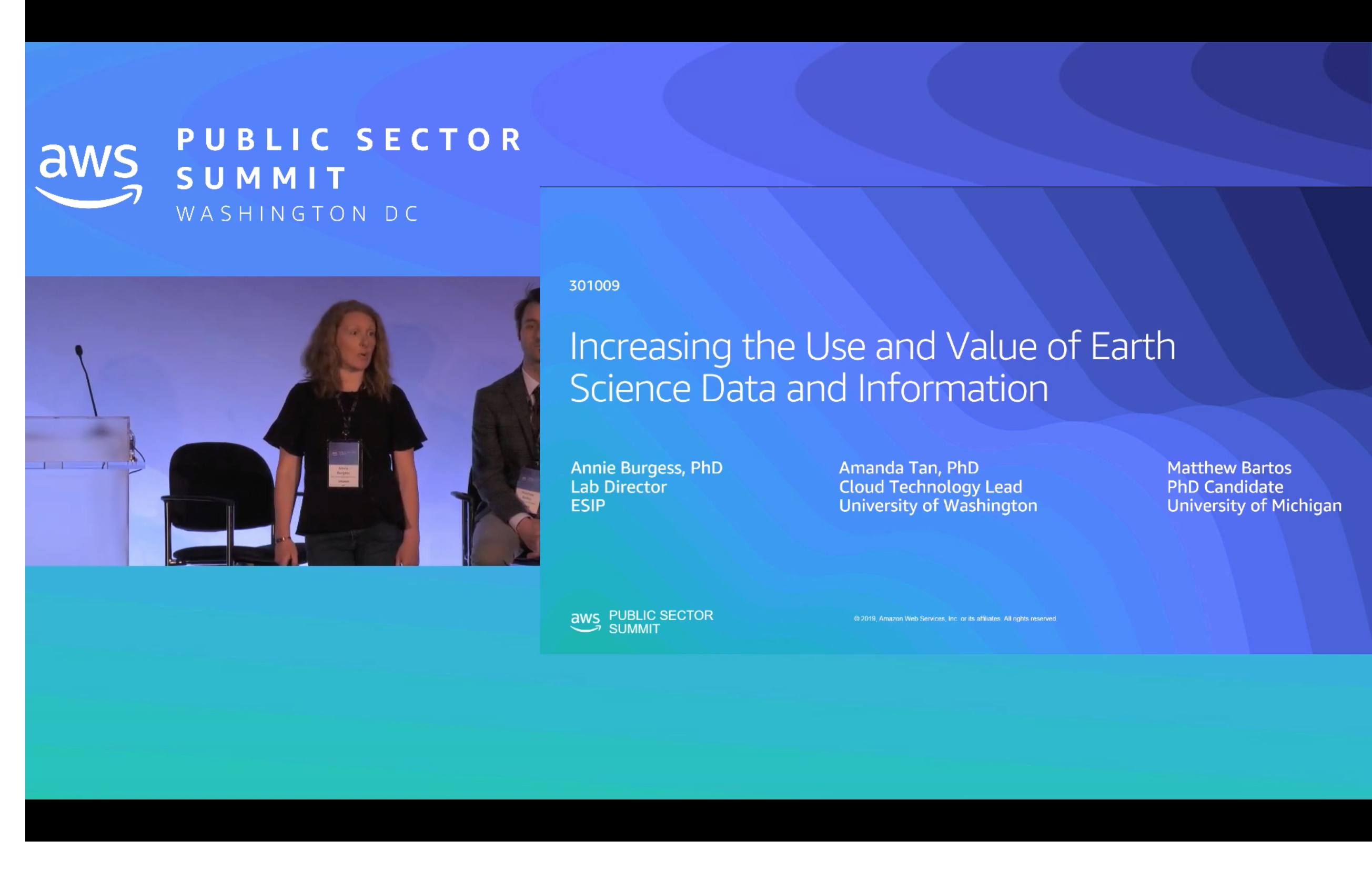
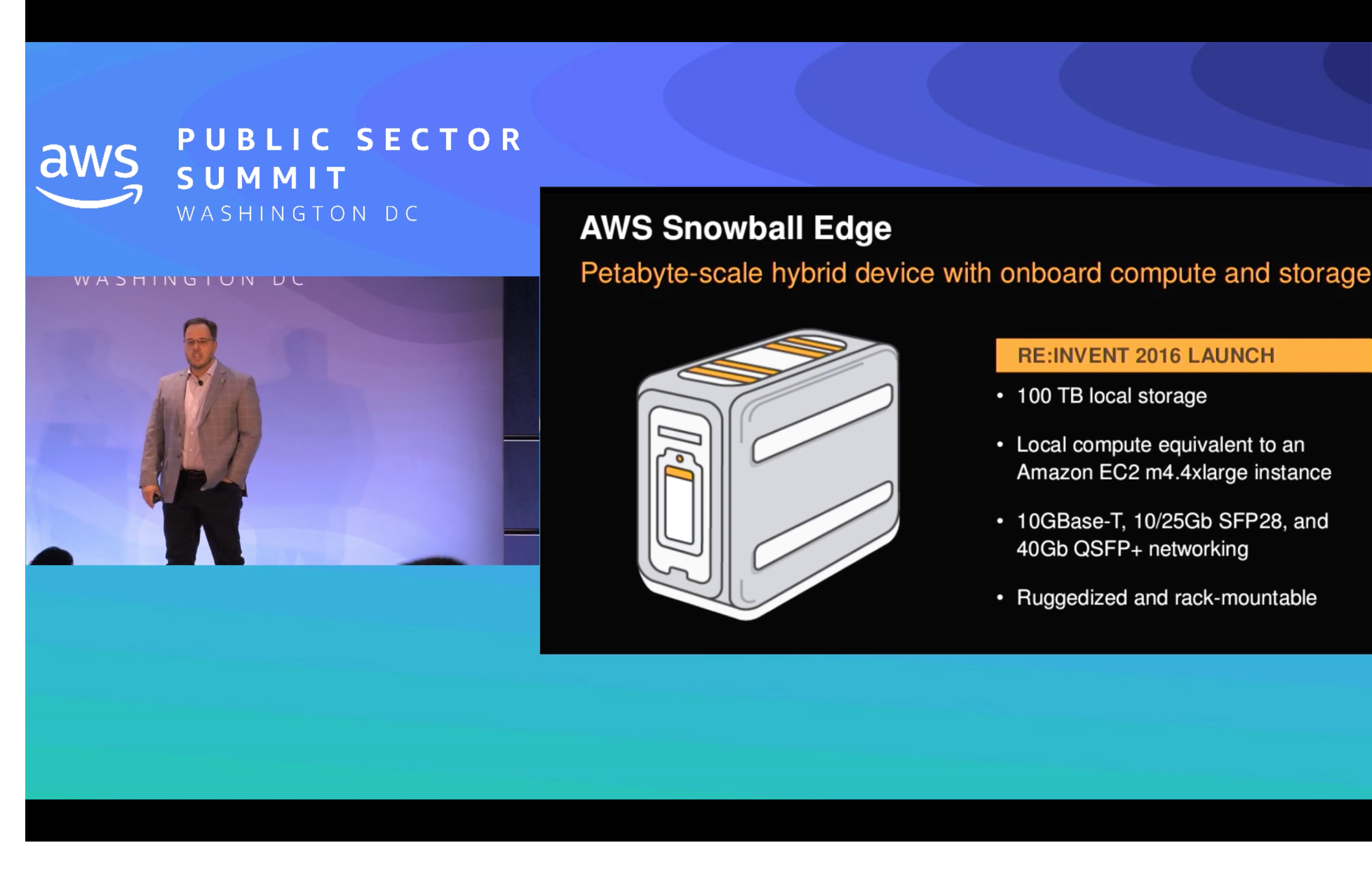
AWS Earth Videos
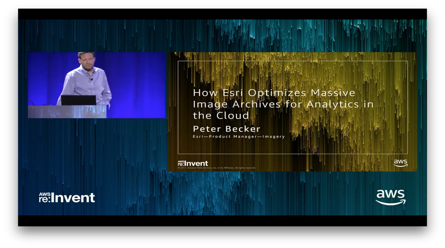
AWS Earth Videos
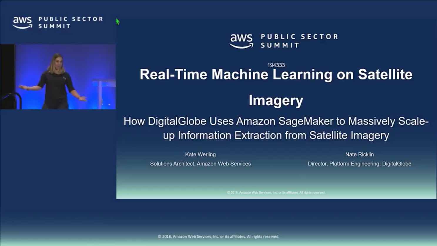
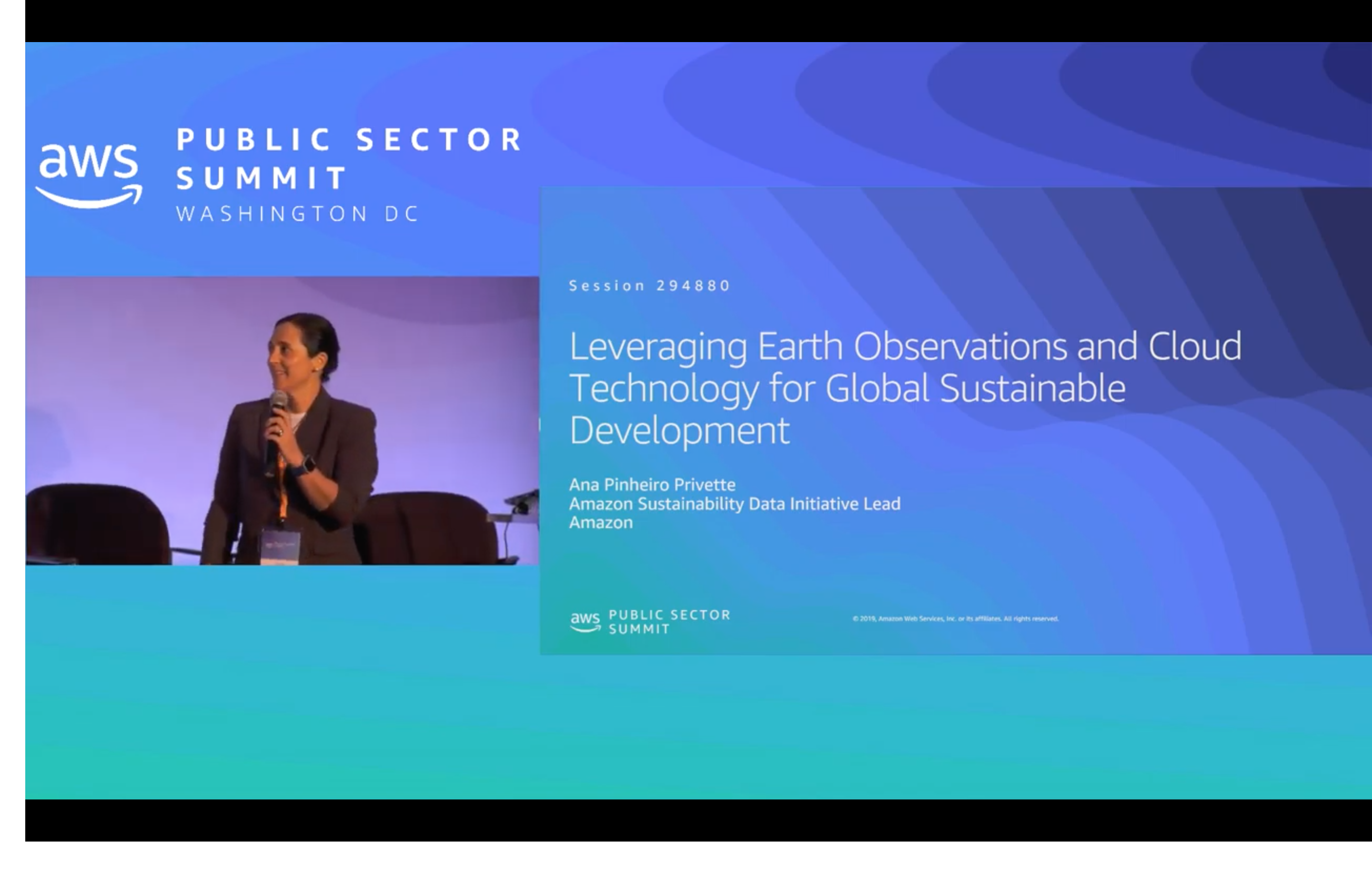
AWS Earth Videos

Articles
Cloud Credits for Earth Observation Research
AWS Cloud Credits for Research are available for anyone to conduct research using Earth Observation data on AWS. Students, educators, and researchers are key drivers of technological innovation and we want to support new advances in the field. Learn How to Apply
AWS Marketplace
AWS Marketplace has dozens of geospatial, GIS and location-based applications that can benefit your routing, planning, predictive modeling and mapping to deliver richer and more meaningful solutions. Easily launch intelligent location and mapping solutions into your AWS account and start understanding the world around you in a new way. Explore Solutions