
Sold by: WolkenHai
🗺️ YouX Framework is a geoprocessing platform for public sector customers that combines a configurable spatial processing engine, map and image generation, a geospatial AI agent, a land process analysis agent, and management modules on a single framework. It is built on open technologies, PostgreSQL with PostGIS, GEOS, GeoServer, GeoWebCache, and GDAL, with an ArcGIS edition also available. With queue-based orchestration and GPU-accelerated processing, it runs spatial overlay analyses, produces interactive maps and cartographic documents, reads and pre-analyzes land process documents, and translates natural language questions into geographic queries. Each customer receives a dedicated deployment in its own environment, including sovereign cloud, with support, knowledge transfer, and full handover to the customer’s teams. Customers automate land regularization and environmental compliance work with faster, consistent, and auditable results.
Overview
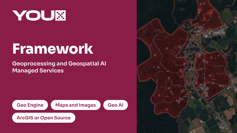
🎯 Public sector customers responsible for land regularization, environmental compliance, and territorial management handle large volumes of spatial layers, aerial and satellite imagery, and documents, and need technical outputs that are fast, consistent, and auditable. YouX Framework brings these capabilities together in a single geoprocessing framework organized into four modules: Geo Engine, Maps and Images, Geo AI, and Management. Every request flows through intake and routing with auditing, permissions, and usage limits, and results are returned to the customer's systems through webhooks.
🧩 The framework is available in two editions with the same modules and capabilities. The ArcGIS edition runs on ArcGIS, ArcGIS Image Server, and an enterprise geodatabase, for customers standardized on the ArcGIS ecosystem. The Open Source edition runs on PostgreSQL with PostGIS, GEOS, GeoServer, GeoWebCache, and GDAL, for customers who prefer open technologies without proprietary GIS licensing.
⚙️ The Geo Engine runs configurable spatial operations, such as overlay analysis and analytical calculations, on the spatial database of the chosen edition. Requests are submitted through orchestration services and distributed by a messaging queue to parallel workers built on Java and Spring, which feed scalable processing units backed by GPU acceleration and high-performance NVMe storage, so large batches of analyses run in parallel with predictable throughput.
🗺️ The Maps and Images module turns layers and processing results into interactive maps, imagery, and cartographic documents. Its compositor produces tiles, legends, and technical drawings in standard image formats, with caching of images, features, and geometries for fast delivery. Typical outputs include overlay maps, topographic plans, legal boundary descriptions, analytical calculation worksheets, and technical reports.
🧠 Geo AI extracts information from documents, automates the analysis of administrative processes, and translates natural language questions into geographic queries. An intent evaluation layer interprets each request and routes it to the right executor, which can generate SQL queries, images, charts, features, or answers grounded in applicable legislation, returning results through webhooks or directly to the database. This enables intelligent land agents that answer geographic questions with interactive maps and technical reports. The Management module adds configurable features for contract and notification management.
☁️ The solution can run on AWS or involve AWS infrastructure, depending on the specific requirements of each customer, including the SERPRO sovereign cloud used by Brazilian government customers. Relevant AWS service categories include compute and hosting for the processing engine and map services, GPU-accelerated compute for large-scale geoprocessing, managed databases for spatial data, object and high-performance block storage for imagery and caches, messaging and queuing for orchestration, generative AI and machine learning for Geo AI capabilities, and security capabilities for identity and access control, encryption, logging, and auditing.
🤝 The full scope is delivered as a managed service. The engagement starts with an assessment of the customer's spatial data, workflows, and priority use cases, followed by selection of the edition, deployment of the framework, configuration of spatial operations, map and document templates, AI flows, and integrations, and enablement of the customer's teams. Ongoing operation, monitoring, and support keep the platform, data, and outputs current and aligned with the customer's land and environmental goals.
Highlights
- 🗺️ One geoprocessing framework for public sector customers that brings together a configurable spatial processing engine, map and image generation, geospatial AI, and contract and notification management, available in an ArcGIS edition or an Open Source edition built on PostGIS, GeoServer, and GDAL without proprietary GIS licensing, with auditing, permissions, and usage limits applied to every request.
- ⚙️ Large-scale spatial processing with queue-based orchestration, parallel workers, and GPU-accelerated processing units, producing overlay maps, topographic plans, legal boundary descriptions, analytical calculation worksheets, interactive maps, and technical reports for land regularization and environmental compliance with consistent, auditable results.
- 🧠 Geospatial AI that extracts information from documents, automates the analysis of administrative processes, and turns natural language questions into geographic queries, charts, images, and answers grounded in applicable legislation, delivered as a managed service that helps customers make faster and better informed territorial decisions.
Details
Sold by
Categories
Delivery method
Deployed on AWS
New
Introducing multi-product solutions
You can now purchase comprehensive solutions tailored to use cases and industries.

Pricing
Custom pricing options
Pricing is based on your specific requirements and eligibility. To get a custom quote for your needs, request a private offer.

Legal
Content disclaimer
Vendors are responsible for their product descriptions and other product content. AWS does not warrant that vendors' product descriptions or other product content are accurate, complete, reliable, current, or error-free.
Support
Vendor support
For support related to this solution, customers can contact YouX through the following channels:
- Website: https://youxgroup.com.br/
- Email: comercial@youxgroup.com.br
- Email: comercial@gt4w.com.br
Support is available Monday to Friday, from 8am to 5pm BRT.