AWS Public Sector Blog
Tag: Earth on AWS

Earth on AWS session at ESA Φ-week
Enterprises, nonprofits, and startups around the globe are using the cloud to accelerate innovation in geospatial workflows to respond to natural disasters, fuel precision agriculture, plan city infrastructure, provide weather forecasts, and drive a myriad of other purposes. We convened an Earth on AWS session at the 2018 ESA Φ-week event, with presentations and discussions from experts showing how they’re using the AWS Cloud to unlock value from geospatial data and learn more about our world.
The Cloud Pulls Space Closer
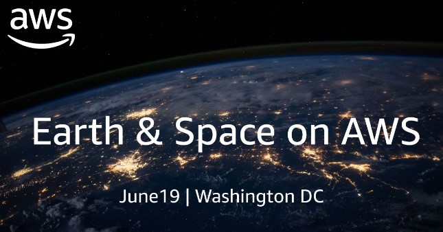
In keeping with the spirit of Earth and space exploration, here’s another glimpse into the growing dialogue around how the cloud is reshaping planetary science. It’s all ahead of our Earth & Space on AWS Summit Pre-Day experience, which we’re over the moon to present on June 19. (Bear with us, we’re just that excited).

Exploring Earth and Space with the Cloud
Join us for a unique Earth & Space on AWS experience Tuesday, June 19, 2018. Hear from customers and thought leaders who are unearthing new discoveries through cloud technology and public-private partnerships. Choose from nine breakout sessions highlighting innovations with geospatial data, satellite technology, artificial intelligence, machine learning, high-performance computing, and much more.

Announcing the Inaugural Earth on AWS Fellowships and Internships Program
We are excited to announce the first year of the Earth on AWS Fellowships and Internships program, a new program that works with customers to fund interns and fellows to conduct novel research of the use of geospatial data in the cloud. We are working with Azavea, Development Seed, Element84, Sinergise, and SkyWatch on this program.

Accessing NOAA’s GOES-R Series Satellite Weather Imagery Data on AWS
Data from the National Oceanic and Atmospheric Administration’s (NOAA) Geostationary Operational Environmental Satellites (GOES)-R series satellite is available on Amazon Simple Storage Service (Amazon S3). Access it here at no cost. NOAA operates a constellation of Geostationary Operational Environmental Satellites to provide continuous weather imagery and monitoring of meteorological and space environment data for the […]
Q&A with Planet OS: Learn about the OpenNEX Climate Data Access Tool
Planet OS announced their OpenNEX Climate Data Access Tool, which allows users to generate custom datasets from the NASA Earth Exchange GDDP and DCP-30 data. With this launch, Planet OS is helping the NASA Earth Exchange team make these valuable climate datasets accessible to the masses, and taking a big step closer to their long-term […]