AWS Public Sector Blog
Tag: Earth oberservation

Virtualizing the satellite ground segment with AWS
As the number of spacecraft and spacecraft missions accelerates, moving aerospace and satellite operations to the cloud via digital transformation — including virtualizing the ground segment — is key for economic viability. In this blog post, we explain the benefits of virtualizing the ground segment in the cloud and present the core components of a reference architecture that uses AWS to support several stages of a comprehensive ground segment virtualization. Then, working from this model, we present additional reference architectures for virtualizing the ground segment that can accommodate various requirements and usage scenarios.
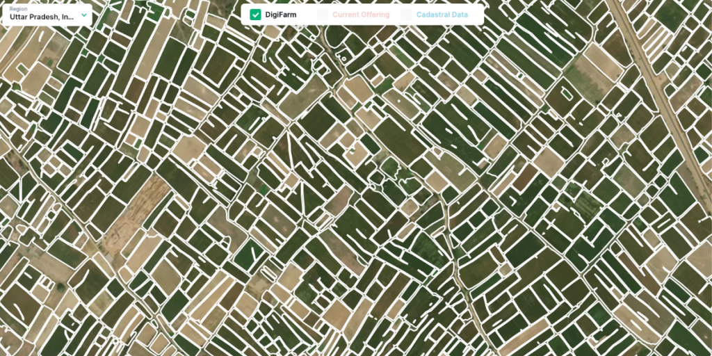
Bringing world-class satellite imagery to smallholder farmers with open data
As part of the Amazon Sustainability Data Initiative (ASDI), AWS invited Nils Helset, co-founder and chief executive officer (CEO) of DigiFarm, to share how AWS Cloud technology and open data support DigiFarm’s efforts in precision farming to make agricultural practices more sustainable and efficient.
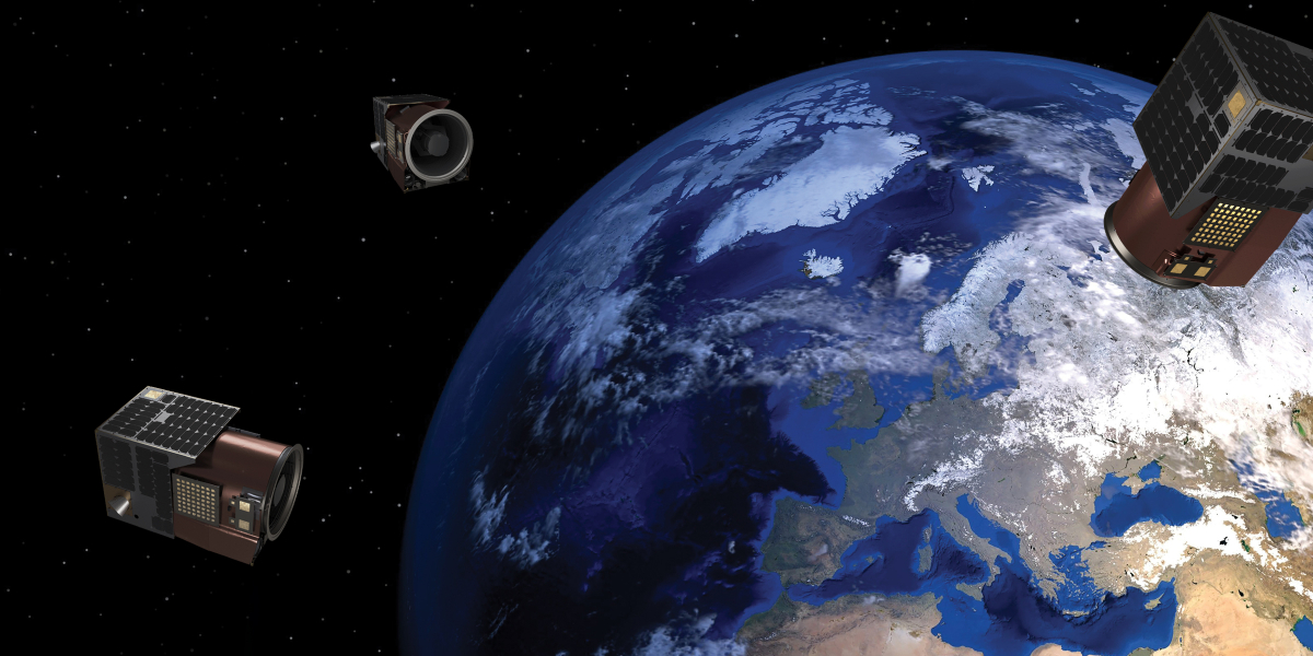
Satellogic makes Earth observation data more accessible and affordable with AWS
Satellogic, a leader in high-resolution Earth observation (EO) data collection, is creating a live catalog of Earth and delivering daily updates to create a complete picture of our planet for decision makers so that they can tackle some of the biggest challenges of our time. Satellogic uses Amazon Web Services (AWS) to scale its live Earth catalog, enhance customer experiences, decrease data processing times, and optimize costs.

Automated Earth observation using AWS Ground Station Amazon S3 data delivery
With AWS Ground Station, you can now deliver data directly into Amazon S3 buckets. This simplifies downlinking because you no longer need to run an Amazon EC2 receiver instance. It also saves you cost and simplifies the creation of automated processing pipelines like the one we are going to show in this blog. By using an automated Earth observation (EO) pipeline, you can reduce the operating burden of your staff, as after scheduling a contact, everything is handled automatically and you’ll get a notification when the processed data is available. Read on to learn how to create an automated EO pipeline that receives and processes data from the NOAA-20 (JPSS-1) satellite, using this new AWS Ground Station feature.