AWS Public Sector Blog
Category: Aerospace & Satellite

Cloud powers faster, greener, and more collaborative research, according to new IDC report
According to a new IDC report, the cloud is helping researchers conduct research faster than ever before by reducing data analysis and processing times, and is allowing researchers around the world to collaborate on solving universal problems. In addition to the positive impact on research, IDC also forecasts that continued adoption of cloud computing globally could prevent environmental emission of more than 1 billion metric tons of CO2 from 2021 through 2024, almost equivalent to removing the 2020 CO2 emissions of Germany and the U.K. combined.

How to prepare for re:Invent 2021 for public sector attendees
From November 28 to December 3, 2021, Amazon Web Services (AWS) is hosting the 10th annual re:Invent conference in Las Vegas, Nevada. Attendees can deepen their cloud knowledge and gain new skills to accelerate their missions—as well as network, chat with AWS experts, and have fun with thousands of other cloud enthusiasts. With so much content available, how can you make the most of the event? Whether you’re attending in person or virtually, here’s what public sector attendees need to know to prepare.
Announcing the public sector speakers in the re:Invent 2021 leadership sessions
This year, re:Invent from Amazon Web Services (AWS) is back in-person, in Las Vegas, Nevada, from Monday, November 29 through Friday, December 3. There will be two public sector leadership sessions during re:Invent for attendees to get inspired and discover the latest advancements and new initiatives from and for the public sector, featuring AWS public sector leadership and public sector customers with groundbreaking stories about how the cloud is driving innovation.

Analyze terabyte-scale geospatial datasets with Dask and Jupyter on AWS
Terabytes of Earth Observation (EO) data are collected each day, quickly leading to petabyte-scale datasets. By bringing these datasets to the cloud, users can use the compute and analytics resources of the cloud to reliably scale with growing needs. In this post, we show you how to set up a Pangeo solution with Kubernetes, Dask, and Jupyter notebooks step-by-step on Amazon Web Services (AWS), to automatically scale cloud compute resources and parallelize workloads across multiple Dask worker nodes.

Climate data, koala genomes, analysis ready radar data, and highly-queryable genomic data: The latest open data on AWS
The AWS Open Data Sponsorship Program makes high-value, cloud-optimized datasets publicly available on AWS. We work with data providers to democratize access to data by making it available to the public for analysis on AWS; develop new cloud-native techniques, formats, and tools that lower the cost of working with data; and encourage the development of communities that benefit from access to shared datasets. Our full list of publicly available datasets are on the Registry of Open Data on AWS. This quarter, we released 26 new or updated datasets including datasets on climate, koala genomes, analysis ready radar data, and highly-queryable genomic data. Check out some highlights.
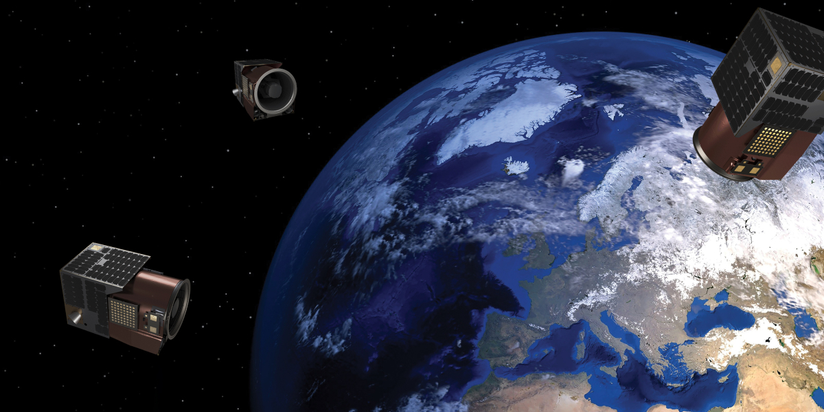
Satellogic makes Earth observation data more accessible and affordable with AWS
Satellogic, a leader in high-resolution Earth observation (EO) data collection, is creating a live catalog of Earth and delivering daily updates to create a complete picture of our planet for decision makers so that they can tackle some of the biggest challenges of our time. Satellogic uses Amazon Web Services (AWS) to scale its live Earth catalog, enhance customer experiences, decrease data processing times, and optimize costs.

Announcing the AWS IoT Rapid Adoption Assistance Initiative for Public Sector Partners
Education, government, and nonprofit organizations seek to deliver quality services to support their missions in increasingly dynamic and complex environments, all while facing common challenges, such as shortage of systems to collect and analyze data in real-time. To support public sector organizations on their missions and with the growth of Internet of Things (IoT), Amazon Web Service (AWS) is launching the AWS IoT Rapid Adoption Assistance Initiative for AWS Partners.

AWS Startup Ramp now available in South Korea and South East Asia
The AWS Startup Ramp is a program for early-stage startups building solutions in health, digital government, smart cities, agriculture, and space technology, and is dedicated to supporting entrepreneurs as they build, launch, and grow. AWS Startup Ramp works to remove barriers for entrepreneurs who want to make an impact in the public sector by providing technical design and architecture reviews, mentorship, credits, and support with go-to-market plans to help navigate the complex regulatory and security requirements in the public sector.

How open data from weather radar helps scientists improve environmental understanding
Weather radars see more than just the weather: they see smoke from fires, meteors, birds, mayflies, and almost anything else in the atmosphere. This makes weather radars an invaluable tool for scientists seeking to further the understanding of atmospheric processes and anything else that happens to be flying through the radar’s field of view. The Amazon Sustainability Data Initiative (ASDI) seeks to accelerate sustainability-related innovation and research by helping to minimizing the cost and time required to store, acquire, and analyze large weather and climate datasets.

Scheduling satellite contact using AWS Ground Station and Python SDK
A new interactive AWS CLI tool expands the functionality of AWS Ground Station. You now have a simple way to schedule AWS Ground Station satellite contacts directly from your terminal. Learn more about how to use the CLI tool with scheduling, viewing, and canceling contacts to your satellite.