AWS Public Sector Blog
Category: Sustainability
Announcing the 10 finalists for the inaugural AWS Clean Energy Accelerator program
We are happy to announce the selection of the 10 finalists and participants in the inaugural AWS Clean Energy Accelerator program. These ten companies were selected by a panel from AWS and Freshwater Advisors, from 218 applications received from 38 countries around the world. The applicants ranged from pre-revenue to $50M in annual revenue and from 1 to more than 500 employees.

How the cloud is helping us better understand and manage the oceans
The world’s waters are largely unknown, with vast areas still unmapped. To protect and preserve the oceans, we need to extensively understand its systems, and data is at the core of that process. The Amazon Sustainability Data Initiative (ASDI) is committed to enabling better access to the foundational data that can help researchers, businesses, and policy-makers better monitor and manage the ocean’s valuable resources.

Open data on AWS supports sustainable agricultural practices and crop optimization
With a rapidly growing population, the world is increasingly dependent on the ability to develop and maintain sustainable agriculture and healthy environments. Learn how BASF Digital Farming is leveraging both National Oceanic and Atmospheric Administration (NOAA) weather data hosted on AWS, and commercial weather data, to develop digital solutions to help farmers effectively monitor and manage their fields, and help drive farm sustainability.
Assessing the ocean’s health by monitoring shark populations
OCEARCH is a data-centric organization built to help scientists collect previously unattainable data about the ocean. Their mission is to accelerate the ocean’s return to balance and abundance, through innovation in scientific research, education, outreach, and policy, using unique collaborations of individuals and organizations in the US and abroad. As part of the Amazon Sustainability Data Initiative (ASDI), we invited Fernanda Ubatuba, president and COO at OCEARCH, to share how her organization is making strides in helping ocean conservation and how AWS is supporting her mission.

Announcing the AWS Clean Energy Accelerator for startups
Addressing climate change requires innovation across the world, across industries, and across startups and multi-national corporations. From distributed energy to storage solutions to efficiency and optimization software—clean technology investment and innovation is surging. With this surge in demand comes a rapid proliferation of startups working to solve today’s biggest energy challenges. To help foster this innovation, AWS is launching the AWS Clean Energy Accelerator.

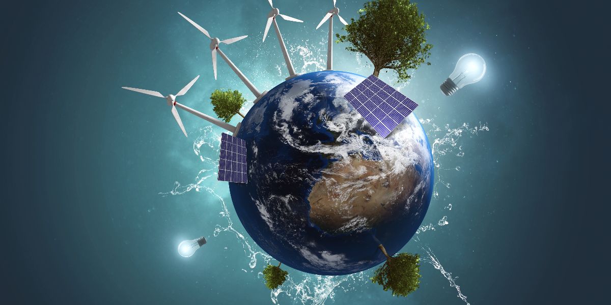
How the cloud is helping remove barriers to addressing climate change
What if we were to democratize access to data and compute so that anyone, anywhere in the world could contribute to climate science? The Amazon Sustainability Data Initiative (ASDI) seeks to accelerate sustainability research and innovation by minimizing the cost and time required to acquire and analyze large sustainability datasets. ASDI supports innovators and researchers with the data, tools, and technical expertise they need to advance sustainability initiatives. ASDI is committed to making climate-relevant data easier to access and analyze. ASDI’s growing data catalog comprises petabytes of open data.

Now available: CMIP6 dataset to foster climate innovation and study the impact of future climate conditions
Today, Amazon announced that it is now hosting petabytes of data from the largest and most updated climate simulation dataset in the world. Through two cloud grants from the Amazon Sustainability Data Initiative (ASDI) to the Earth System Grid Federation (ESGF), Amazon is enabling climate researchers worldwide to access and analyze the dataset used for the United Nation’s Intergovernmental Panel on Climate Change’s Sixth Assessment Report (IPCC-AR6) on the AWS Cloud. The report—scheduled to be published in May 2022—provides policymakers worldwide with the latest assessment of the scientific basis of climate change, its impacts and future risks, and options for adaptation and mitigation. The climate simulation dataset, also known as the Coupled Model Intercomparison Project Phase 6 (CMIP6) data archive, traditionally hosted and distributed through the ESGF servers, aggregates the climate models created across approximately 30 working groups and 1,000 researchers working on IPCC-AR6.

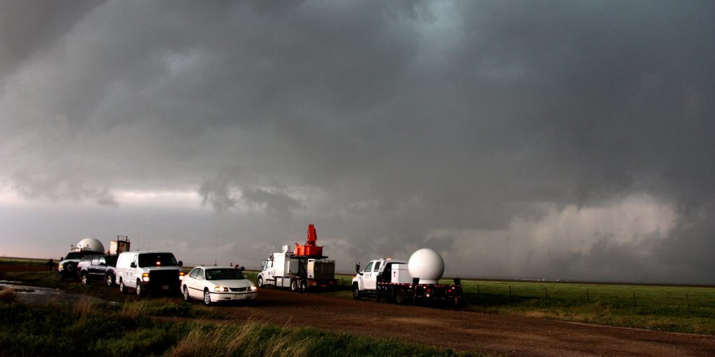
Open data helps recovery in the aftermath of devastating weather events
Severe and extreme weather events not only wreak havoc on lives, property and the economy, but the extent of the destruction and devastation left behind can be difficult to map and quantify. Having high resolution imagery of areas devastated by weather events (hurricanes, tornadoes, floods, and etc.) helps to characterize impacts, formulate needed recovery and response activities, support emergency managers in saving lives, and restart the flow of commerce. NOAA’s data plays a critical role in this process. As part of ASDI, we invited Jena Kent from NOAA’s Big Data Program to share how AWS is helping with disaster response by providing access to aerial data and imagery through open data initiatives.

Collecting data in remote oceans with a cost-efficient, scalable, and flexible infrastructure
Saildrone builds and operates a fleet of unmanned surface vehicles (USVs) designed to collect high-resolution oceanographic and atmospheric data in remote oceans. Known as saildrones, each vehicle can stay at sea for up to 12 months, transmitting real-time data via satellite. The data collected is used to inform climate models and extreme weather prediction, maritime domain awareness, maps and charts, and sustainable management of resources. Using clean, renewable wind and solar power, saildrones provide access to the world’s oceans at a fraction of the cost of traditional ship-based methods, while drastically reducing the carbon footprint of global ocean observation.
50 years of innovation: How open data is supporting NOAA’s “science, service, and stewardship” mission
This month, the National Oceanic and Atmospheric Administration (NOAA) celebrates 50 years of “science, service, and stewardship.” Over the past five decades, NOAA has demonstrated its ability to push the boundaries of technological innovation to collect and understand data, as well as share that knowledge and information with others. AWS supports NOAA’s mission, in particular by providing public access to the agency’s environmental datasets since 2015 through the Registry of Open Data on AWS.